Ash Cave, Hocking Hills — Wheelchair accessible trail guide
Seven hundred feet wide. Ninety feet high. A horseshoe of sandstone that wraps around you and drops the temperature the moment you step inside. Ash Cave is Ohio’s largest recess cave, and it’s the kind of place that’s harder to describe than it is to just go see. A paved lower path follows the creek toward the cave. The onward rim route includes steps and uneven ground.
Trail notes from the Pool House Lodge team who host in the Southern Region.
For groups with different mobility needs, distinguish the paved approach from the stepped rim route before you set off. The accessibility notes below explain the difference.
Ash Cave is Ohio's largest recess cave. A short paved gorge trail leads to the cave area, where a seasonal waterfall drops from the sandstone rim. Admission is free; the upper rim route includes steps.
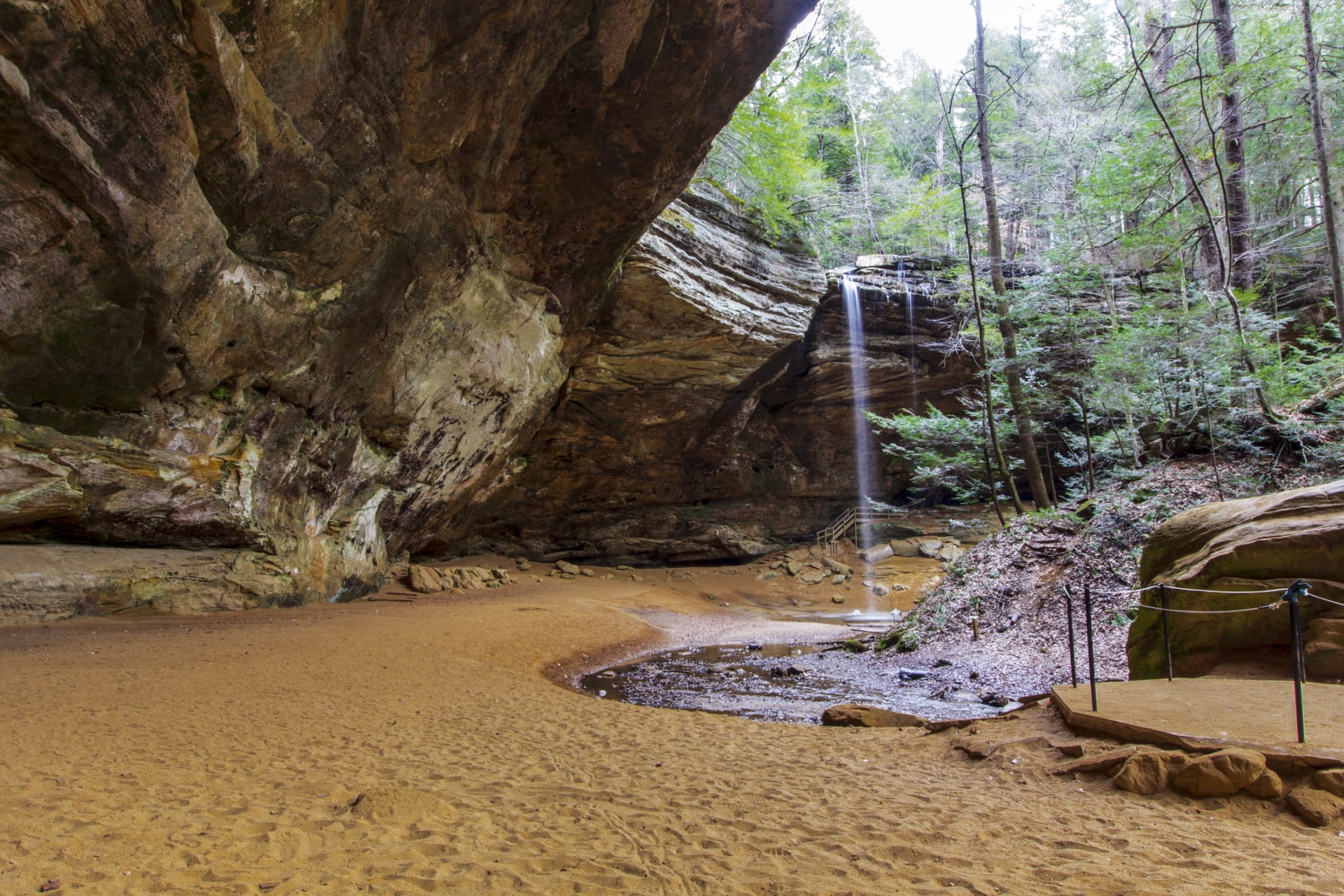
Inside Ash Cave — Ohio’s largest recess cave, Hocking Hills State Park
Ash Cave at a Glance
Fast Facts
- Trail length: About a quarter mile to the cave on the lower approach; the walking loop includes a stepped rim return
- Walking time: Allow around 40 minutes for the walking loop, plus stops
- Difficulty: Easy lower approach; steps and uneven ground on the rim return
- Accessibility: Wheelchair and stroller accessible (lower paved trail)
- Waterfall: Seasonal — best flow in winter, spring, and fall
- Cost: Free — no entrance or parking fees
- Restrooms: Available in the main parking lot
- Dogs allowed: Yes, on leash
- Address: 27291 OH-56, South Bloomingville, OH 43152
- Official info: Ohio DNR — Hocking Hills State Park

The trail dedication plaque at Ash Cave, describing the accessible route
The Trail: What You’re Actually Walking
The lower paved gorge trail provides wheelchair access to the cave area. The sandy cave floor and the stepped rim return are different surfaces; do not assume the entire cave floor or loop is accessible. Wheelchair users can return along the paved approach. Check current conditions with park staff before visiting.

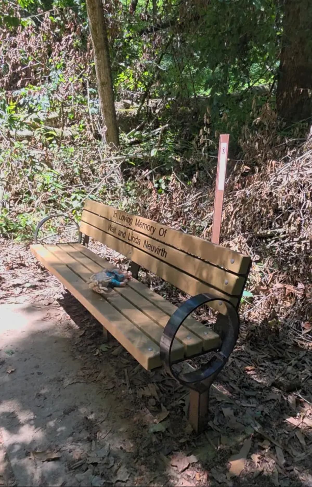
The paved trail in, with one of the rest benches along the way
The upper rim route continues beyond the cave via steps and unpaved ground. It is not a wheelchair-accessible extension of the lower path. Use the Ohio DNR trail map to distinguish the short rim return from longer connecting hikes.
Follow the posted one-way walking route. Wheelchair users can return on the paved approach instead of taking the steps. See the Ash Cave route guide for the accessible return and rim loop.
The Waterfall: When Does It Run?
The waterfall at Ash Cave drops roughly 90 feet from the cave rim into a shallow pool on the floor below. Whether it looks like a curtain or a trickle depends on when you show up.
November through April is when it runs best, especially after a wet spell. A good week of rain in late winter can fill the cave with the sound of it. That’s the version most people picture when they search for photos.
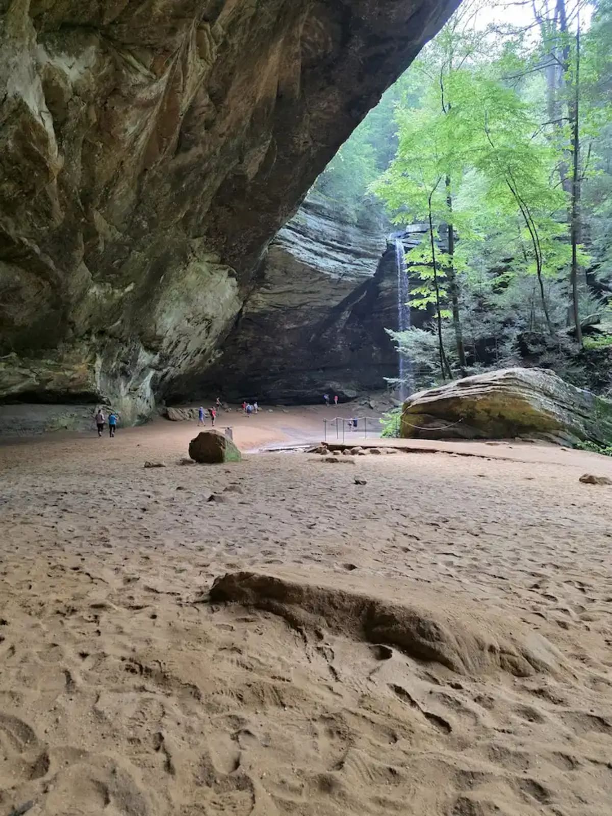
The waterfall at Ash Cave during a strong-flow period
In July and August it usually runs quiet — a thin stream, not a full fall. The cave itself doesn’t need the waterfall to be worth the trip, but if you’re visiting in summer, adjust your expectations. Rain changes everything. If a storm rolls through 24 to 48 hours before your visit, flow picks up fast regardless of the season. If you’re planning a summer trip, our July Hocking Hills guide covers what the whole region looks like that time of year.

The same waterfall in July — a thinner, quieter flow than the winter/spring version above
Video: Ash Cave From the Trail
Here’s what the walk in and the cave actually look like:
Crowds: When to Go and When to Skip It
Ash Cave is one of the most visited spots in the park, and it shows on weekends. The parking lot fills by mid-morning on Saturdays and Sundays from May through October. The trail is wide enough to handle traffic, but the cave itself gets packed in summer afternoons.
Best times to visit:
- Weekday mornings, before 9 AM
- Tuesday through Thursday, any time of day
- Late October through March — off-peak season, fewer crowds and better waterfall flow
- First thing after the gate opens in any season
A quiet moment at the trail’s resting area — easier to find outside peak hours
Times to avoid:
- Saturday and Sunday afternoons, May through October
- 4th of July weekend — one of the busiest weeks in the park
- Spring break weekends in late March and April
- Fall foliage peak in mid-October (peak weekends are very crowded)
Crowds here build in a fairly predictable wave. The lot is quiet at opening, fills through late morning, and is at its worst from roughly noon to 3 PM on summer and fall weekends. If a weekend is your only option, arriving early matters far more than picking the “right” day — the trail is often close to empty at 8 AM even in October. Approaching from the south on OH-56 also keeps you off the SR 664 corridor between Logan and the main park, which is where most of the weekend backup actually happens.
One more timing note that catches people out: the cave faces the trail opening, so the light inside is soft and even in the morning and harsh by mid-afternoon when the sun clears the rim. Photographers and anyone who wants the cave without a hundred people in frame are looking for the same window.
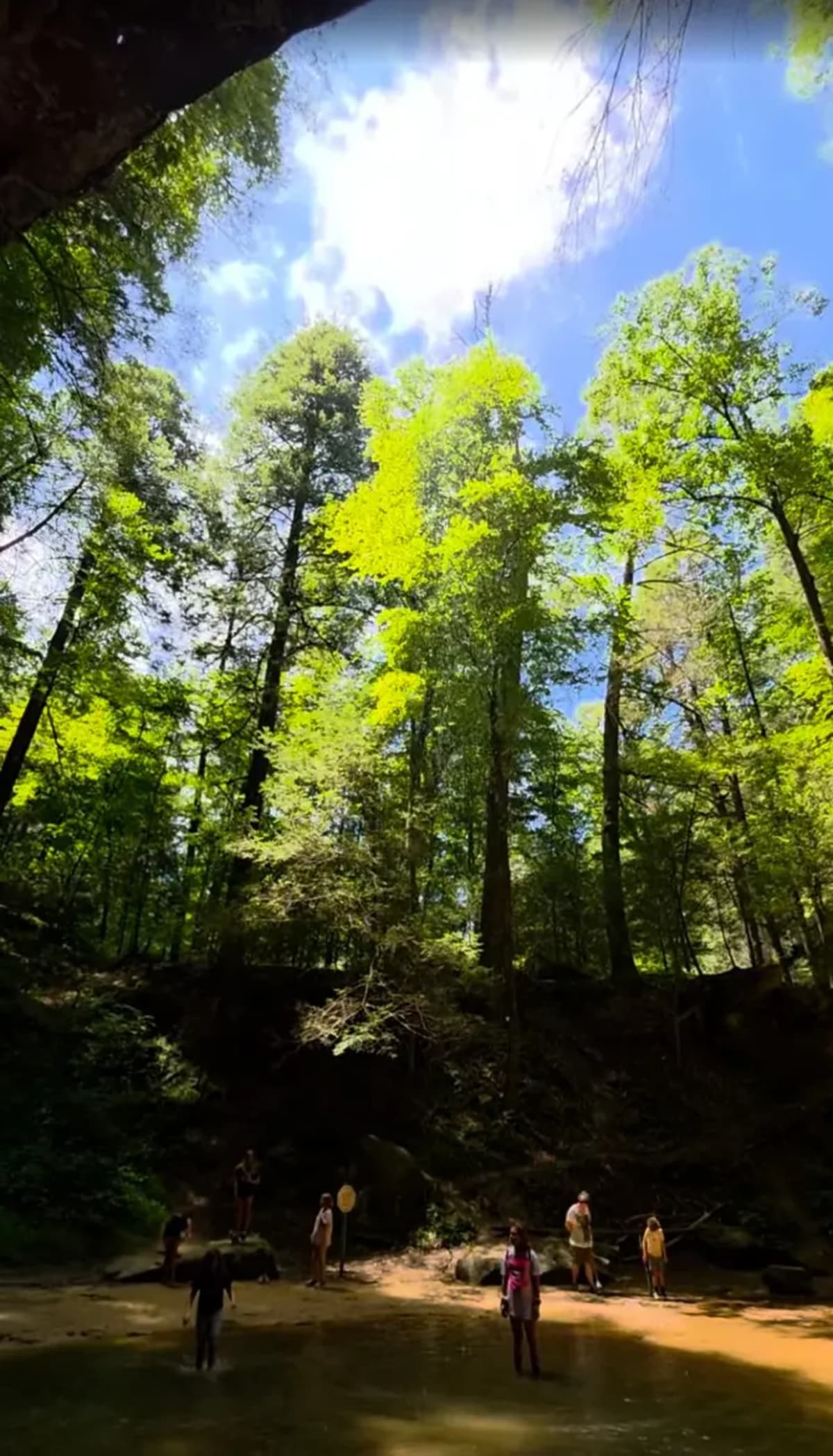
Looking out from inside the cave toward the trail opening — the soft-light window photographers time their visit around
Parking, Amenities, and Getting There
Plan your arrival
Our family tip: download your map before you go. Cell reception can be unreliable in Hocking Hills. We learned this the hard way: download an offline Google map while you still have Wi-Fi or a cell signal. Download an area that covers your whole drive, including the way back to where you are staying, and wait for the download to finish. Simply saving a place or opening directions is not the same as downloading an offline map. How to download a Google map for offline use. Offline maps support driving directions within the downloaded area; live traffic and walking directions are unavailable offline. Save the official trail map before you leave so it is available offline during your hike.
Before setting out, check the National Weather Service forecast for South Bloomingville and ODNR park information and notices. Weather and trail conditions can change; check posted notices at your destination too.
Get directions and estimated drive time on Google Maps. Choose your current location or enter a starting address to see the route to Ash Cave. Follow signs for designated visitor parking on arrival.
Save the official ODNR trail map before your walk, and check posted directions and current notices at the trailhead.
Parking at Ash Cave is free. The main lot is at 27291 OH-56, South Bloomingville, OH 43152, with flush-toilet restrooms. There are also pit toilets just past the trailhead. Confirm current accessible parking and trail conditions with park staff before visiting.
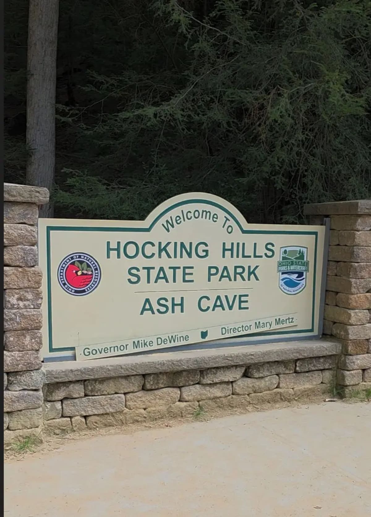
The trailhead entrance at the main Ash Cave parking lot
There is no fee to enter, no reservation required, and no annual pass needed. Ohio state parks are free to all visitors.
If the main lot is full, follow posted signs and staff directions, and use only designated parking. Do not assume nearby roadside space is approved overflow parking.
Useful links:
- Ohio DNR — Hocking Hills State Park (official)
- Ash Cave trail details — Hocking Hills Tourism Association
- Ash Cave on AllTrails — reviews, map & current conditions
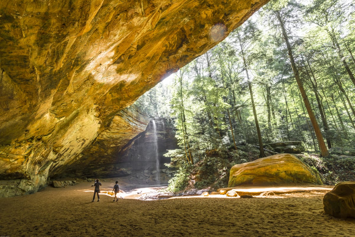
The cave floor at Ash Cave — wide enough to feel like standing in an outdoor amphitheater
What to Pack for Ash Cave
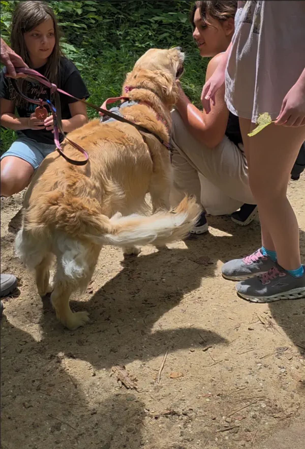
Dogs are welcome on the trail, on leash
- Footwear: Sneakers are fine for the lower paved trail. Waterproof hiking shoes are better if you want to explore the upper rim trail or wet areas near the creek.
- Water: At least one bottle per person. The hike is short but the cave can be chilly — you’ll warm up on the walk back.
- Layers: The cave interior stays cool year-round, often noticeably colder than outside. Bring a light jacket even in summer.
- Bug spray: From May through September, especially near the creek and cave floor.
- Camera: The cave is dim — your phone will struggle in auto mode. Tap to expose for the cave interior, not the bright rim above.
- Stroller or wheelchair: Plan for the paved lower route; the rim return has steps.
Ash Cave vs. Old Man’s Cave vs. Cedar Falls
Ash Cave is the right call if anyone in your group has mobility limitations, or if you’re after a short, satisfying stop. Forty-five minutes in and out and you’ve seen one of Ohio’s most remarkable natural features. Strollers and wheelchairs handle the lower trail fine — it's the trail our Hocking Hills with kids guide and Hocking Hills with grandparents & limited mobility guide both recommend first. In fall, Ash Cave frames the peak foliage above the 90-foot rim — see the fall foliage guide for when to time your visit.
Old Man’s Cave is more of a production. The trail winds through a sandstone canyon with overlooks, a natural bridge, and two waterfalls. More rugged, more crowded, more of an event. It’s what most people picture when they think of Hocking Hills.
Cedar Falls sits between the two in difficulty. The tallest waterfall in the park system, a well-shaded trail, moderate terrain. Worth doing if you want more than Ash Cave but don’t want Old Man’s Cave on a busy Saturday.
All three are close enough to combine in a day. Cedar Falls and Old Man’s Cave sit near each other on the SR 664 and SR 374 loop, and Ash Cave is south of them on OH-56. Each has its own trailhead and its own parking lot, so plan on driving between them — though the Grandma Gatewood Trail does connect Old Man’s Cave to Cedar Falls to Ash Cave for anyone who wants the roughly six-mile point-to-point version with a second car left at the far end.
If you only have a morning and want two of the three, pair Ash Cave with Cedar Falls. They are the closest together, the combined walking time is under two hours, and Cedar Falls has the more reliable water flow in summer when the Ash Cave fall thins out. Old Man’s Cave is the one that eats a half day once you factor in parking, the visitor center, and the stairs.
Where to Stay Near Ash Cave
There is no lodging inside the preserve itself, so visitors end up in one of four areas. The trade-off is roughly the same each time: closer to the trailheads means more weekend traffic and higher rates, farther out means quieter roads and a slightly longer drive each morning.
Logan and the SR 664 corridor. The densest cluster of cabins, motels, and rental offices, and the closest base to Old Man’s Cave. It is also where nearly all of the region’s weekend congestion happens — the stretch of SR 664 between Logan and the park slows to a crawl on October Saturdays, and a drive that looks like fifteen minutes on a map can take twice that. Choose this side if you want groceries, restaurants, and gas within a few minutes of the door.
South Bloomingville and the OH-56 side. The immediate area around Ash Cave: scattered small cabins on gravel side roads, genuinely dark at night, and almost no services. It is the shortest drive to the trailhead, but plan on going into Logan for anything you forget, and expect patchy cell coverage on the back roads. Steep gravel driveways are common here and are noticeably harder in ice or after heavy rain than the listing photos suggest.
Nelsonville and the US-33 corridor. More of a town base than a woods base — highway access, chain lodging, Hocking College, and the Hocking Valley Scenic Railway. Roughly a half hour from most trailheads on paved four-lane most of the way. Worth considering if you are arriving late, driving in from Columbus, or would rather not navigate unlit two-lane roads after dark.
The Southern Region — McArthur and Vinton County. South of the main park corridor, about 20 minutes from Ash Cave, and quiet even on peak fall weekends because the through traffic never comes this way. It also puts Lake Hope State Park, Zaleski State Forest, and Moonville Tunnel closer than they are from Logan, which is the argument for this side if you want more than the five famous trails. Pool House Lodge is on this side, in McArthur.
Two practical things to check before booking anywhere in the area, whichever side you land on. First, most properties out here are on well water and septic systems, so water pressure and hot water recovery vary a lot between places. Second, if accessibility matters, confirm that the features you need are on the main level and that there is a step-free route from the parking spot to the door — a single-story cabin can still have steps at every entrance. Many properties also set two-night weekend minimums, with longer minimums over fall foliage weekends and holidays, and October dates fill earlier than any other month. For more route-specific information, our accessible Hocking Hills guide has the trail-by-trail breakdown. If you want a second trail the same day, the Conkle’s Hollow gorge trail is the other paved option in the park, and Old Man’s Cave is the rugged counterpart if everyone can handle stairs. For more on what else is nearby, browse the full Hocking Hills guide collection.
Frequently Asked Questions About Ash Cave
How long is the Ash Cave trail?
The lower paved approach is about a quarter mile to the cave. The walking loop continues up steps to the rim; allow around 40 minutes, plus time for stops. Follow the posted route and use the official trail map to plan longer connections.
Is Ash Cave wheelchair accessible?
The lower paved gorge trail provides wheelchair access to the cave area. The sandy cave floor and the stepped rim return are different surfaces; do not assume the entire cave floor or loop is accessible. Wheelchair users can return along the paved approach. Check current conditions with park staff before visiting.
Does Ash Cave have a waterfall?
Yes, a seasonal waterfall drops from the cave rim. Flow depends on recent rainfall and can be very low or absent during dry weather.
Do you need tickets or reservations for Ash Cave?
No. There are no tickets, no reservations required, and no entrance or parking fees at Ash Cave. Ohio state parks are free for all visitors.
Are dogs allowed at Ash Cave?
Yes. Dogs on a six-foot leash are permitted on the trail. The one-way trail system keeps things moving, so keep your dog close.
How far is Ash Cave from McArthur, Ohio?
About 20 minutes. Guests staying in the Southern Region near McArthur can hit Ash Cave first thing and still have most of the day ahead of them.
Where do you park for Ash Cave?
Use the designated Ash Cave trailhead parking area on State Route 56. Open driving directions in Google Maps and select your starting point for an estimated drive time. Follow current parking signs and use the ODNR trail map to locate the trail entrance.
What should families bring for the walk?
Bring water, shoes with grip and a saved ODNR trail map. Pack spare socks and a change of clothes for children in case of rain, mud or accidental splashes. These are hiking preparations, not a recommendation to enter the water.
Planning a Group Stay Near Ash Cave?
Pool House Lodge sleeps up to 20 guests in 7 bedrooms, with a private heated indoor pool and hot tub. Explore the rooms and amenities or review our accessibility details before choosing your dates.
Check Lodge AvailabilityOriginally published .