Choose your fall hike by footing and the kind of view you want. Ash Cave offers a shorter paved approach; Old Man’s Cave and Cedar Falls involve more steps; Conkle’s Hollow requires choosing between its gorge and rim. None has a guaranteed peak-color date or parking space.
These are researched planning suggestions. The linked specialist guides distinguish our family’s photos and observations from official route information. Photos illustrate the places; they are not a live foliage or trail-condition report.
Seven fall outings: which fits your group?
Use the official ODNR park and trail map for route names, steps, one-way sections, facilities and preserve pet rules. Follow current signs and park notices if they differ from a saved map.
1. Old Man’s Cave
Choose it for: Gorge scenery and a walk with stairs.
Choose a signed route before descending. Stone steps, roots and narrow passages make this a poor choice for a stroller or someone needing a step-free outing. The return climb matters as much as the descent. Our family video shows the footing.

2. Conkle’s Hollow
Choose it for: A choice between a paved gorge section and exposed rim hiking.
The gorge and rim are separate outings. ODNR describes the gorge walk as about one mile round trip and the rim as a separate two-mile loop. Its regional map labels the gorge’s one-way trail 0.5 mile and the rim 1.9 miles. The wheelchair-accessible section ends at the sidewalk, before the end of the gorge trail. The rim includes steep drops. No pets are allowed in this preserve.
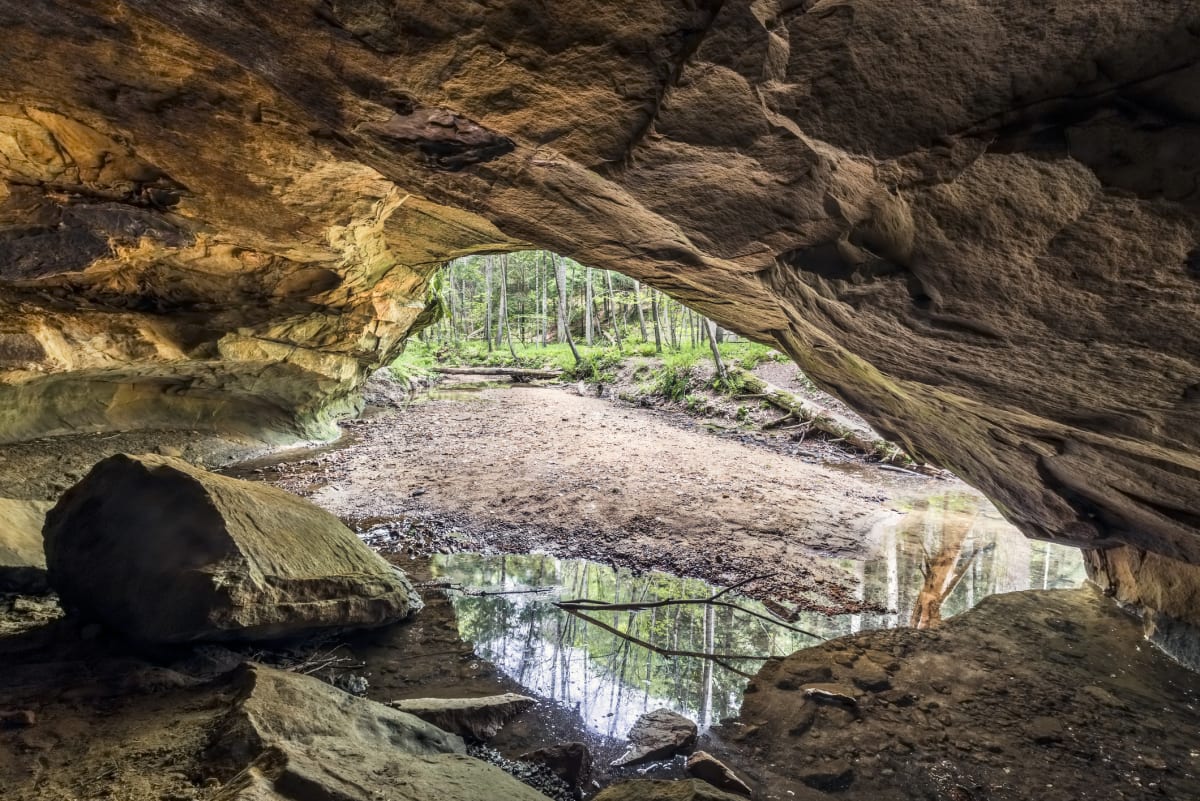
3. Cedar Falls
Choose it for: A waterfall stop for walkers comfortable with steps.
ODNR’s park visitor page lists Cedar Falls as a one-mile, moderate hike. Its regional map labels a shorter 0.4-mile trail segment; use the one-mile outing when planning rather than treating that segment as the whole visit. Check entrances, exits and connecting paths on the map. A walk onward to Old Man’s Cave is a separate, longer plan. Waterfall flow depends on recent rain.
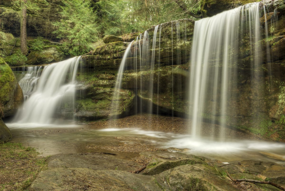
4. Ash Cave
Choose it for: A shorter paved approach for mixed-mobility groups.
The lower gorge approach is approximately a quarter mile to the cave area. The upper rim route adds steps and unpaved ground. Wheelchair users return on the paved approach; the sandy cave floor is a different surface. Confirm conditions before relying on step-free access.
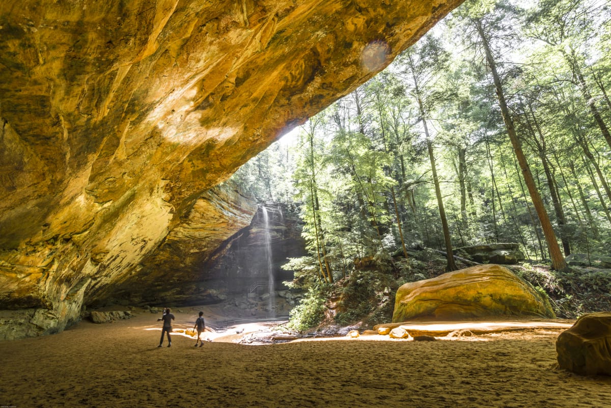
5. Cantwell Cliffs
Choose it for: Rock passages for a group comfortable with demanding terrain.
Choose this for the rock formations, not as an automatic escape from crowds. Expect steps, uneven ground and narrow passages; follow the marked trail rather than scrambling off route. If anyone is uncomfortable with steep terrain, choose the Ash Cave approach instead.
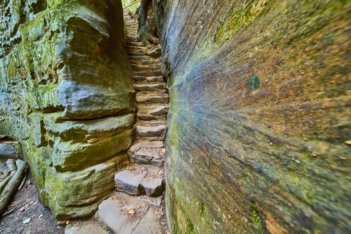
6. Rock House
Choose it for: A rock-chamber outing with steps.
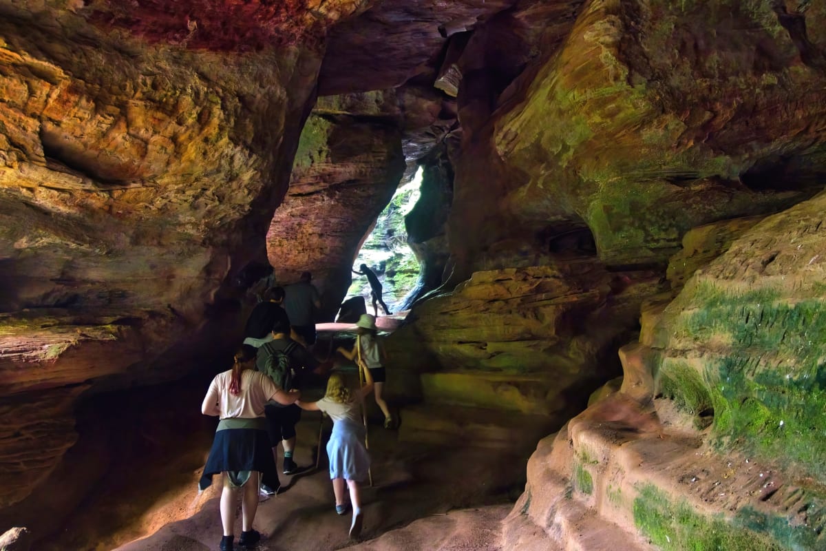
The approach and rock interior require care with footing and headroom. It is not a step-free viewpoint. Allow time to walk back before dark, and do not confuse Rock House with Rockbridge State Nature Preserve, a separate natural-bridge destination.
7. Moonville Rail Trail
Choose it for: A rail-trail and tunnel outing in Vinton County.
Choose your parking point before setting a walking distance: the distance to the tunnel depends on where you start. A relatively level rail grade does not guarantee a wheelchair-suitable surface. Check the trail organization’s current information for surface, bridge and access conditions; carry a light for the tunnel.
Moonville Rail Trail visitor information

A fall day with time for breaks
Our suggested plan: choose one main walk in the morning, stop for lunch and restrooms, then decide whether a second stop still fits your energy and daylight. Bring water and a picnic if you want to stay near the trailheads; use the official map to locate picnic and restroom facilities, and check availability when you arrive.
For a group avoiding stairs, make Ash Cave’s paved approach the main outing. Add the paved portion of Conkle’s Hollow only if everyone wants more walking; drive between their separate parking areas. For confident stair walkers, make Old Man’s Cave the main hike and keep Cedar Falls optional. Do not turn an unplanned connector walk into your return route.
Fall color, crowds and clothing
Use the foliage guide for timing and current regional fall information. Conditions vary by year and location. A weekday can reduce crowd pressure, but an early arrival does not guarantee parking. Use designated lots, follow staff instructions, and choose another permitted stop if a lot is full.
Pack layers, a rain shell, water, snacks and shoes with reliable grip. Wet leaves can hide steps and uneven rock. Check the local National Weather Service forecast and finish walking before dark. During storms or unsuitable footing, choose a named indoor alternative.
Plan your arrival
Our family tip: download your map before you go. Cell reception can be unreliable in Hocking Hills. We learned this the hard way: download an offline Google map while you still have Wi-Fi or a cell signal. Download an area that covers your whole drive, including the way back to where you are staying, and wait for the download to finish. Simply saving a place or opening directions is not the same as downloading an offline map. How to download a Google map for offline use. Offline maps support driving directions within the downloaded area; live traffic and walking directions are unavailable offline. Before leaving, save the official Hocking Hills park and trail map for offline use. For trails outside this map, use the relevant preserve or park map.
Before setting out, check the National Weather Service forecast for South Bloomingville and ODNR park information and notices. Weather and trail conditions can change; check posted notices at your destination too.
Choose a stop covered in this guide to open Google Maps. Select your current location or enter a starting address to see driving directions and an estimated travel time.
- Ash Cave — directions and estimated drive time
- Conkle’s Hollow — directions and estimated drive time
- Old Man’s Cave — directions and estimated drive time
Drive times vary with traffic and road conditions. Follow signs for designated visitor parking on arrival; a map route does not confirm that a trail is open or accessible.
Questions before you choose
Which fall hike works best for someone avoiding stairs?
Start by comparing the lower paved approach at Ash Cave with the paved section of Conkle’s Hollow. Neither description applies to the entire trail system or every surface. Confirm current conditions and the return route before starting.
Can we walk from Old Man’s Cave to Cedar Falls?
The destinations connect within the wider trail network, but this is a longer outing than visiting either from its own parking area. Plan the entire route, return, food, water and daylight using the official map. Do not assume a shuttle will be available.
For weather, events and a broader itinerary, continue with the October trip-planning guide.
Originally published .